Downloaded from hlayiso.com
NATIONAL SENIOR CERTIFICATE EXAMINATION
NOVEMBER 2018
NAUTICAL SCIENCE: PAPER II
Time: 3 hours 150 marks
PLEASE READ THE FOLLOWING INSTRUCTIONS CAREFULLY
1. This question paper consists of 6 pages. Please check that your question paper is
complete.
2. Answer ALL the questions in Sections A, B and C.
3. Begin the answer to each new question on a new page.
4. The use of scientific calculators is permitted.
5. Alphanumeric calculators and dictionaries are NOT permitted.
6. Nautical tables may be used.
7. It is in your own interest to write legibly and to present your work neatly.
REQUIREMENTS
Drawing instruments
Radar plotting sheet
ANNEXURES – Nil
IEB Copyright © 2018 PLEASE TURN OVER
You're offline
Skip to contentQuestion paper 
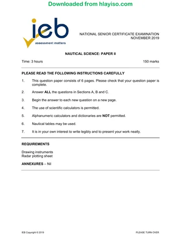
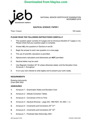
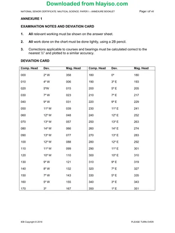
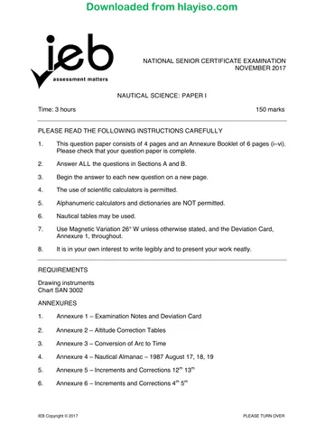
View all
Nautical Science P2 2018 hlayiso.com
Nautical Science · Grade 12 · 2018. Question paper, 6 pages. Read online or download the PDF.
- Subject
- Nautical Science
- Grade
- Grade 12
- Document type
- Question paper
- Year
- 2018
- Paper
- 2
- Publisher
- IEB
- Pages
- 6
- File size
- 66.9 KB
Loading document…
Loading document…
1 of 6
Document textSearch extracted text and jump to a page.
Downloaded from hlayiso.com
NATIONAL SENIOR CERTIFICATE: NAUTICAL SCIENCE: PAPER II Page 2 of 6
SECTION A SEAMANSHIP
QUESTION 1
In compliance with the International Regulations for Preventing Collision at Sea,
1972 as amended (hereinafter referred to as the COLREGS), answer the following
questions:
1.1 What action should a power-driven vessel take when being overtaken by
another vessel and there is a risk of collision? (8)
1.2 What does the term "vessel engaged in fishing" mean? (8)
1.3 What does the word "underway" mean? (2)
1.4 Describe, with the aid of a sketch, the lights and day shapes that a vessel
not under command (NUC) is required to exhibit whilst underway. (8)
1.5 Two power-driven vessels making way through the water and crossing, are
in risk of collision. What is the responsibility of each of these vessels in
terms of the COLREGS? (4)
[30]
QUESTION 2
List ten action points the officer of the watch would immediately take in the event
of the vessel running aground.
[10]
IEB Copyright © 2018
Downloaded from hlayiso.com
NATIONAL SENIOR CERTIFICATE: NAUTICAL SCIENCE: PAPER II Page 3 of 6
QUESTION 3
3.1 When inbound to a port in Region A down a buoyed channel, on which side
must you pass a green conical buoy with a green cone-shaped top mark? (1)
3.2 What colours are used for:
3.2.1 lateral marks? (2)
3.2.2 safe water marks? (2)
3.2.3 special marks? (1)
3.3 What top marks do the following buoys have?
3.3.1 a west cardinal buoy (2)
3.3.2 an east cardinal buoy (2)
3.3.3 a south cardinal buoy (2)
3.4 If you see a cardinal mark painted with the horizontal bands black-yellow-
black, on which side do you pass it (i.e. north, south, east or west)? (1)
3.5 What does a buoy that is painted with red and white vertical stripes
indicate? (1)
3.6 On which side would you pass an ISOLATED DANGER MARK? (1)
[15]
IEB Copyright © 2018 PLEASE TURN OVER
Downloaded from hlayiso.com
NATIONAL SENIOR CERTIFICATE: NAUTICAL SCIENCE: PAPER II Page 4 of 6
QUESTION 4
A container vessel proceeding in clear visibility on a course of 020° (T) and speed
of 20 knots.
The following observations were made of an approaching target detected on radar:
TIME BEARING RANGE
10:06 342° (T) 12,0 miles
10:12 341° (T) 10,4 miles
10:18 340° (T) 8,7 miles
4.1 Plot the target on the plotting sheet provided. (10)
4.2 Compile a full target report at 10:18. (5)
4.3 Standing instructions to the Officer of the Watch are that you are to maintain
a safe minimum distance of two miles from other vessels and dangers. If in
doubt, call the Master.
What action would you take to comply with this instruction, given the
information from the target report? (5)
[20]
QUESTION 5
5.1 What are the design features of a Ro-Ro ship? (5)
5.2 What is a "reefer" vessel? (5)
5.3 List five export commodities that would typically be loaded onto a reefer
vessel in a South African port. (5)
[15]
90 marks
IEB Copyright © 2018
Downloaded from hlayiso.com
NATIONAL SENIOR CERTIFICATE: NAUTICAL SCIENCE: PAPER II Page 5 of 6
SECTION B COMMUNICATIONS AND METEOROLOGY
QUESTION 6
6.1 What is an "URGENCY" message? (5)
6.2 Your vessel's name is "CORMORANT", call sign ZTOP, and you are on
passage south of Cape Recife lighthouse (bearing 355° (T) × 8 miles), and
you sight a semi-submerged white 6 m container in the water. The wind is
east force 4, weather overcast and visibility is good.
Prepare a safety signal (SECURITE) reporting this sighting to the local
coastal station and ships in the vicinity. Use the phonetic alphabet where
applicable. (6)
6.3 What is the distress frequency for radio telephony? (2)
6.4 When are the distress silence periods? (2)
[15]
QUESTION 7
7.1 What causes wind to blow in a particular direction? (2)
7.2 Near the equator the wind tends to move parallel to the isobars, but
elsewhere it tends to be deflected. What is the deflecting force called? (1)
7.3 In which direction is this deflection in the southern hemisphere? (2)
7.4 Describe, with the aid of a sketch, an anticyclone. In your sketch show the
relevant pressures of each of the isobars and wind direction, assuming this
is in the northern hemisphere. (15)
[20]
35 marks
IEB Copyright © 2018 PLEASE TURN OVER
Downloaded from hlayiso.com
NATIONAL SENIOR CERTIFICATE: NAUTICAL SCIENCE: PAPER II Page 6 of 6
SECTION C SAILINGS
QUESTION 8
A vessel in GPS position Lat. 31° 06' S Long. 013° 35' E receives a distress call
from another vessel in Lat. 26° 34' S Long. 006° 14' E
8.1 What is the course and distance to the vessel in distress? (20)
8.2 If the vessel proceeds at full speed of 22 knots, what quantity of fuel will be
consumed to reach the distress position?
The vessel burns an average of 74 tons of fuel per day at full speed. (5)
25 marks
Total: 150 marks
IEB Copyright © 2018
Recommended for this subject
Published documents with matching subject and grade metadata.
Question paper
Nautical Science P1 2019 hlayiso.com
Question paper
Nautical Science P1 Annexure Booklet 2019 hlayiso.com
Question paper
Nautical Science P2 2019 hlayiso.com
Question paper
Nautical Science P1 2018 hlayiso.com
Question paper
Nautical Science P1 Annexure booklet 2018 hlayiso.com
Question paper
Nautical Science P1 2017 hlayiso.com
Related documents
Matched using subject, grade, language, document type and exam metadata.
Memorandum
Nautical Science P2 Memo 2018 hlayiso.com
Question paper
Nautical Science P2 2017 hlayiso.com
Memorandum
Nautical Science P1 Memo 2018 hlayiso.com
Memorandum
Nautical Science P2 Memo 2019 hlayiso.com
Memorandum
Nautical Science P2 MG 2017 hlayiso.com
Question paper
Nautical Science P1 Annexure Booklet 2017 hlayiso.com
More from Grade 12 Nautical Science
Explore more published documents in this catalogue.