Downloaded from hlayiso.com
NATIONAL SENIOR CERTIFICATE EXAMINATION
NOVEMBER 2019
NAUTICAL SCIENCE: PAPER II
Time: 3 hours 150 marks
PLEASE READ THE FOLLOWING INSTRUCTIONS CAREFULLY
1. This question paper consists of 6 pages. Please check that your question paper is
complete.
2. Answer ALL the questions in Sections A, B and C.
3. Begin the answer to each new question on a new page.
4. The use of scientific calculators is permitted.
5. Alphanumeric calculators and dictionaries are NOT permitted.
6. Nautical tables may be used.
7. It is in your own interest to write legibly and to present your work neatly.
REQUIREMENTS
Drawing instruments
Radar plotting sheet
ANNEXURES – Nil
IEB Copyright © 2019 PLEASE TURN OVER
You're offline
Skip to contentQuestion paper 
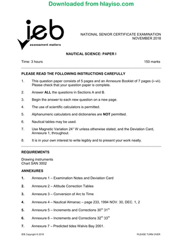
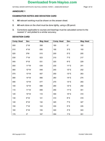
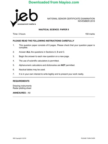
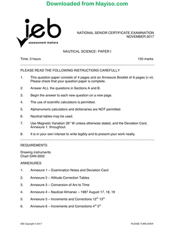
View all
Nautical Science P2 2019 hlayiso.com
Nautical Science · Grade 12 · 2019. Question paper, 6 pages. Read online or download the PDF.
- Subject
- Nautical Science
- Grade
- Grade 12
- Document type
- Question paper
- Year
- 2019
- Paper
- 2
- Publisher
- IEB
- Pages
- 6
- File size
- 91.2 KB
Loading document…
Loading document…
1 of 6
Document textSearch extracted text and jump to a page.
Downloaded from hlayiso.com
NATIONAL SENIOR CERTIFICATE: NAUTICAL SCIENCE: PAPER II Page 2 of 6
SECTION A SEAMANSHIP
QUESTION 1
1.1 The three power-driven vessels depicted in the sketch below are navigating
in clear visibility and in close proximity to each other. There is a risk of
collision.
1.1.1 Identify the day signals displayed and the meaning of each one. (6)
1.1.2 What is the responsibility of each of the vessels so as to comply with
the International Regulations for Preventing Collisions at Sea 1972
(as amended)? (9)
1.2 What are the fog signals of the following vessels that are making their way
in restricted visibility:
1.2.1 a tug towing a manned vessel? (4)
1.2.2 a power-driven vessel? (2)
1.2.3 a trawler engaged in fishing? (2)
1.3 Draw the lights displayed by a laden tanker underway constrained by her
draught in a restricted sea area viewed from astern. (3)
1.4 What are the four manoeuvring sound signals of a power-driven vessel in
clear visibility? Define the meaning of each signal. (4)
[30]
IEB Copyright © 2019
Downloaded from hlayiso.com
NATIONAL SENIOR CERTIFICATE: NAUTICAL SCIENCE: PAPER II Page 3 of 6
QUESTION 2
List ten action points to be taken on the bridge of a ship when a person falls
overboard whilst underway during the daytime.
Your answer must prioritise the most urgent actions.
[10]
QUESTION 3
3.1 Sketch a vessel in cross section showing it with a starboard heel.
3.1.1 Stable equilibrium (+GM); (5)
3.1.2 Unstable equilibrium (-GM); (5)
3.1.3 Neutral equilibrium (ØGM). (5)
Show the keel position, centre of buoyancy, centre of gravity and
metacentre of the vessel in each of the sketches above.
3.2 What makes a ship "heel" to starboard? (1)
3.3 What makes a ship "list" to port? (1)
3.4 Define "Gross tonnage". (3)
[20]
QUESTION 4
Your vessel is steering a course 163° (T) at a reduced speed of 5 knots due to
poor visibility of less than 1 000 m. You detect a radar target astern that you have
been plotting with the following bearings and ranges:
TIME BEARING RANGE
20h00 255° (T) 10,0 M
20h10 255° (T) 8,0 M
20h20 255° (T) 6,0 M
20h30 255° (T) 4,0 M
4.1 Plot the target's movements on the plotting sheet provided. (5)
4.2 Prepare a full target report. (10)
4.3 What action would you take to avoid collision with this target? (5)
[20]
IEB Copyright © 2019 PLEASE TURN OVER
Downloaded from hlayiso.com
NATIONAL SENIOR CERTIFICATE: NAUTICAL SCIENCE: PAPER II Page 4 of 6
QUESTION 5
5.1 What are the design features of a Ro-Ro ship? (5)
5.2 What is a Reefer vessel? (5)
[10]
90 marks
IEB Copyright © 2019
Downloaded from hlayiso.com
NATIONAL SENIOR CERTIFICATE: NAUTICAL SCIENCE: PAPER II Page 5 of 6
SECTION B COMMUNICATIONS AND METEOROLOGY
QUESTION 6
6.1 In the GMDSS what is Sea Area A1? (3)
6.2 Describe the signal you would transmit if your vessel named "Astor" with
call sign ZSAR was in distress having grounded on the north-west side of
Dassen Island. You are requiring immediate assistance. The weather
conditions are observed as wind NW force 7 and poor visibility. (12)
[15]
QUESTION 7
Sketch the following isobaric pressure systems and illustrate on each one the
isobaric pressure for each gradient and the wind direction for the Southern
Hemisphere.
7.1 A depression. (5)
7.2 An anticyclone. (5)
7.3 A high-pressure ridge. (5)
7.4 A low-pressure trough. (5)
[20]
35 marks
IEB Copyright © 2019 PLEASE TURN OVER
Downloaded from hlayiso.com
NATIONAL SENIOR CERTIFICATE: NAUTICAL SCIENCE: PAPER II Page 6 of 6
SECTION C SAILINGS
QUESTION 8
A vessel on a voyage from Cape Town to the Caribbean calculates Noon position
on 13 February to be at Lat. 31° 06' S Long. 013° 35' E. Ship's time is GMT + 1.
The next WP is Lat. 18° 55' N Long. 063° 25' W (GMT – 4).
Lat. 31° 06' Meridional Parts 1952.93
Lat. 18° 55' Meridional Parts 1148.62
8.1 Calculate the course to steer to the WP. (10)
8.2 Calculate the distance to go to the WP. (10)
8.3 What is the ETA at the WP at 18 knots? (5)
[25]
25 marks
Total: 150 marks
IEB Copyright © 2019
Recommended for this subject
Published documents with matching subject and grade metadata.
Question paper
Nautical Science P1 2019 hlayiso.com
Question paper
Nautical Science P1 Annexure Booklet 2019 hlayiso.com
Question paper
Nautical Science P1 2018 hlayiso.com
Question paper
Nautical Science P1 Annexure booklet 2018 hlayiso.com
Question paper
Nautical Science P2 2018 hlayiso.com
Question paper
Nautical Science P1 2017 hlayiso.com
Related documents
Matched using subject, grade, language, document type and exam metadata.
Memorandum
Nautical Science P2 Memo 2019 hlayiso.com
Question paper
Nautical Science P2 2017 hlayiso.com
Memorandum
Nautical Science P1 Memo 2019 hlayiso.com
Memorandum
Nautical Science P2 Memo 2018 hlayiso.com
Memorandum
Nautical Science P2 MG 2017 hlayiso.com
Question paper
Nautical Science P1 Annexure Booklet 2017 hlayiso.com
More from Grade 12 Nautical Science
Explore more published documents in this catalogue.