
Downloaded from hlayiso.com
1
KZN - DEPARTMENT OF EDUCATION
GREENBURY SECONDARY SCHOOL
JUNE EXAMINATION 2017
GEOGRAPHY P2 pp 8
GRADE: 10 DATE: — 15/06/17
EXAMINER: D. RAMASAMI TIME: 1.5 HOURS
MODERATOR: S. SINGH MARKS: 60
NAME:
GRADE/
DIV:
EDUCATOR
QUESTION CONTENT MARKS
ONE Multiple choice questions 10
TWO Map calculations 22
| THREE Map and photo interpretation 18
FOUR Geographical Information System 10
MARKS:
60
PTO: PAGE 2
7
Skip to contentAll 2017 papers 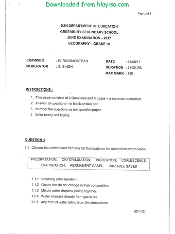
View all
Geography Grade 10 P2 KwaZulu Natal June 2017 Paper & Memo
Grade 10 Geography Paper 2 question paper and memo from the KwaZulu Natal June 2017, 10 pages. Read online or get the free PDF download.
Geography · Grade 10 · KwaZulu Natal June · 2017. Question paper and memorandum, 10 pages. Read online or download the PDF.
- Subject
- Geography
- Grade
- Grade 10
- Document type
- Question paper and memo
- Year
- 2017
- Exam period
- KwaZulu Natal June
- Paper
- 2
- Curriculum
- CAPS
- Pages
- 10
- File size
- 327.9 KB
Free to read online, no sign-up needed
Loading document…
Loading document…
1 of 10
This exam
KwaZulu Natal June 2017
- Paper 1Paper and memo
- Paper 2Paper and memo
Document textSearch extracted text and jump to a page.
Downloaded from hlayiso.com
2
INSTRUCTIONS AND INFORMATION
RESOURCE MATERIAL
1.
An extract from topographical map 3126DD QUEENSTOWN
Orthophoto map 3126 DD 13 QUEENSTOWN
NOTE: The resource material must be collected by schools for their own use.
INSTRUCTIONS AND INFORMATION
1.
Write your” Name in Fulb-
on the cover page.
and Educeters initials” jn the spaces
Answer ALL. the questions in the spaces provided in this question paper.
You are provided with a 1:50000 topographical map (3126DD
QUEENSTOWN) and an orthophoto map (3126 DD 13 QUEENSTOWN) of a
part of the mapped area.
You must hand the topographical map and the orthophoto map to the
invigilator at the end of this examination session.
You may use the blank page at the back of this question paper for all rough
work and calculations. Do NOT detach this page from the question paper.
Show ALL calculations and formulae, where applicable. “Marks will be
allocated for these.
indicate the unit of measurement in the final answer of calculations.
You may use a non-programmable calculator.
The following English terms and their Afrikaans translations are shown on the
topographical map:
ENGLISH AFRIKAANS
Aerodrome Vliegveld
Caravan Park Karavaanpark
College Kollege
Diggings Uitgrawings
Golf Course Gholfbaan
Gorge Ravyn (Kloof)
Holiday Resort Vakansieoord
Purification Plant
Watersuiweringsaanleg
River Rivier
Sewage Works Rioolwerke
Yacht Club Seiljagklub
» PAGE 3
Downloaded from hlayiso.com
GENERAL INFORMATION ON QUEENSTOWN
? ¢ QUEENSTOWN
Coordinates: 31°54'S 26°53'E
Queenstown is a town in the Eastern Cape in South Africa. It lies on the Komani River,
which forms part of the Great Kei system of rivers. Queenstown has a refreshing
climate and plentiful water supply from the surrounding rugged mountains. The water is
collected in the Bonkolo Dam (the name has been changed from Bongolo Dam
recently), set in the hills. This dam is used extensively for recreation and water sports.
Close to Queenstown is a nature reserve (Lawrence de Lange Nature Reserve) with
numerous antelope, white rhinoceros and spectacular flowering plants, together with
panoramic views from the mountain summit. Queenstown has rich sandstone layers
deposited by meandering rivers on the flood plain. Queenstown's layout reflects its
original objective as a defensive stronghold for the frontier area and has a most
unusual design. There is a central hexagonal area where canon or rifle fire could be
directed down six thoroughfares radiating from the centre.
[Adapted from htto://en.wikipedia.org/wiki/Queenstown, Eastern Cape]
PTO ...PAGE 4
1.41.
1.2.
1.3.
» 14,
1.5.
1.6.
Downloaded from hlayiso.com
4
QUESTION ONE
MULTIPLE CHOICE QUESTIONS ,
The following questions are based on the 1:50 000 topographical map, as well
as the orthophoto map. Various options are provided as possible answers to the
following questions. Choose the answer and circle only the letter (A — D) of the
correct answer. ;
The contour interval of the orthophoto map is ...
A) 5M
B) 10M
Cc) 20M
D) 15M
The map projection used on the topographical map is ...
A) Gauss Conform Projection
B) Lamberts Projection
C) Mercator
D) Universal Transverse.
The scale of the orthophoto map means that 1 cm on the map represents ..
A) 0,4 Km
B) 10 Km
C) 0,5 Km
D) 50 Km
The river at L on the topographic map is ...
A) perennial
B) non perennial
C) permanent
D) both AandC
The latitudinal position of the map reference 3126 is
A) 31°s
B) 31°e
C) 26°s
D) 26°e
The direction of X from N is ....
A) South west
B) North east
C) South east
D) North
PTO....PAGE 5
|
;
Downloaded from hlayiso.com
1.7. Feature 7- 8 on the orthophoto map is a...
A) hill
B) valley
C) spur
D) none of the above
1.8. The line at U on the topographic map is a/an ...
A) railway line
B) main road
C) national road
D) arterial route
1.9. Queenstown is found in the...
A) Eastern Cape
B) Western Cape
C) Northern Cape
D) Mpumalanga
1.10. The magnetic declination for Queenstown is given for ...
A) 2002
B) 2000
C) 2005
D) 2003
QUESTION TWO.
MAP CALCULATIONS
2.1. Calculate the distance in kms of the line N on the topographic map.
(10x 1) = 10
(3)
PTO... PAGE 6
Downloaded from hlayiso.com
2.2. State the method used to show height in (A2)
(2)
2.3. Calculate the true bearing of spot height 1365 (G8) from trig beacon 203 (G6).
(3)
2.4. Calculate the magnetic bearing of the points mentioned in 2.3 for 2002.
(3)
2.5. State the height of the trig beacon in D7.
(2)
2.6. State the grid reference of spot height 1290 in C7
latitude
longitude (6)
2.7. Calculate the difference in height between the trig beacons in D7 and spot height 1290.
(8)
[22]
QUESTION 3
MAP AND PHOTO INTERPRETATION
3.1.1. State two possible uses of the Bonkolo Dam in B8 and C8.
a)
b) (4)
3.2. Refer to the topographic map and orthophoto map:
3.2.1. Give a reason why no farming takes place in H6.
(2)
PTO... PAGE 7
3.2.2.
3.2.3,
3.2.4,
3.2.5.
4.1,
4.2.
43,1,
Downloaded from hlayiso.com
Quote evidence from the topographic map to show that Queenstown is practicing
conservation.
(2)
\dentify and give a reason for the type of slope represented by T on the Topographic map
(4)
Refer to the topographic map and the orthophoto map and indentify the following land uses.
Ss
2 (4)
Name the landform/feature found at L on the topographic map
(2)
[18]
QUESTION 4
GEOGRAPHICAL INFORMATION SYSTEM
What is Geographical Information system?
: (2)
Give two advantages of GIS over normal paper maps.
a)
b)
(2)
Name two types of data found on vector maps
a),
b) (2)
PTO... PAGE 8
Downloaded from hlayiso.com
4.3.2. Differentiate between Active and passive remote sensing
4.3.3. Explain how GIS can be used in meteorology.
(2)
[10]
TOTAL = 60
ROUGH WORK
GREENBURY SECONDARY SCHOOL
DEPARTMENT OF HSS
H.0.D. MR D RAMASAMIE
08/06 /17
wn ree rae
>
=
a
pte tering ance er ena
cS
S
in
FF Prey arr en
Downloaded from hlayiso.com
} Map distence = 8,4 ¢m Zo BR 86)
Ground. distance sn
. Gatour line 7
The Dye i’ = 9B? Ig! ( Wee = oor eI
Hes am 4
lobtude > 31¢ 62! 37"3° Cay"-qi) CY 60> 37")
4 Vv, a
longitude» 26° Six 3a"@” Cae" atP (“Aix bos ga)
goog ee
14684 = (290 m= (18,4
Bie) Recreation 4
b) Water #
Downloaded from hlayiso.com
321 fflountowous | Hilly} Steep slepes | New perennial rivers...
32a lawrence be hange flolure reserve: 7
1393. Steep %
|. Gnlours ove close. 7
190% S- Recreation | Sports field 4%
a Golf Gurse Clot recreation)
925 Non perennial rer
Ube. Use of compuler technology to study. geegcaphicol infected wa a
Ha.c) Hucable ~ lasts longer “
b) Gn be edited easily “
ial a) Pots %
| b) hnes | folygons
(nda Active - Sending out signol, q capturing nformasion/ image, “
_ fasswe - Rekvag up the nodural vodiation of the earth ~
1433: Used to track the posh of wealher phenomenon ~
patent
Study this subject
Recommended for this subject
Question paper and memo
Geography Grade 10 P1 KwaZulu Natal June 2017 Paper & Memo
Question paper and memo
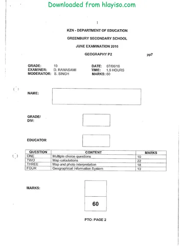
Geography Grade 10 P2 KwaZulu Natal June 2016 Paper & Memo
Memorandum
Geography Grade 10 P2 Eastern Cape November 2017 Memo (Afr)
Memorandum
Geography Grade 10 P2 Eastern Cape November 2017 Memo (Eng)
Question paper
Geography Grade 10 P2 Eastern Cape November 2017 QP (Eng)
Question paper
Geography Grade 10 P2 Eastern Cape November 2017 QP (Afr)
More from Grade 10 Geography
Study guide
Gr10 Geografie OG studyguide LR
Annual teaching plan
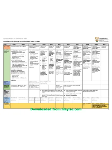
Gr 10 Geo ATP 2023 24
Question paper
Geography Grade 10 P1 North West November 2024 QP (Eng)
Question paper
Geography Grade 10 P2 North West November 2024 QP (Eng)
Question paper
Geography Grade 10 Gauteng March Test 2023 QP (Afr)
Question paper